Mount Lassen
Sunday, July 15, 2007: I birded a bit around the motel before heading to the Lassen trailhead, with a couple of young Mountain Bluebirds being the highlight.
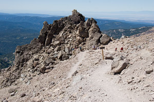
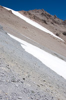
I started up the mountain at 7:45. Lassen is pretty open, with only clumps of trees at lower elevations (the trailhead is at 8400' and the the top is about 10,450'). The views start soon after you leave the trailhead and only improve on the way up. The basic climb is pretty straightforward. You just keep going up for 2.5 miles. The grade is a pretty consistent 15 percent, sometimes a bit less, sometimes a bit more. The trail surface is good at the start, but has more and larger loose stuff on it as you go up. It's a little harder near the top as your feet slip a little with each step (this was a bigger issue on the return).
Until I cleared the trees, Clark's Nutcrackers were almost constant companions. Juncos were also noticeable, as was a Yellow-Pine Chipmunk (reddish undertail clearly visible). Golden-mantled Ground-Squirrels were also about, and proved to be plentiful at the top, where they begged for food. Twisted foxtail pines were also notable before clearing treeline.
One negative were the dire warnings about closing the trail if people kept using a couple of alternative trails. It's clear that the alternate trails are a very minor issue resource-wise. The bigger issue is the roped-off meadow area at the top, which seem to be mostly obeyed. This sort of thing gives the impression that the park service doesn't have its priorities straight. It appeared to me that much of the upper mountain has little vegetation not because of hikers, but because of the mountain itself. Once you are away from the trail, most of the mountain is steep with a loose surface. Combine this with a harsh climate, and most of the plants are in sheltered areas at the base of boulders that are big enough to stay put for a few years and that didn't have stuff sliding down on them.
 |
 |
 |
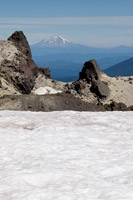
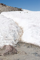
Mt. Shasta | Snowy Trail | Weather Station |
|---|
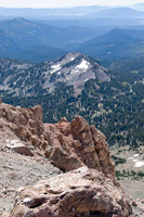
It took a bit under 2 hours to get to the top. The summit area has several interpretive signs. It also appears to be a false summit, with the true summit lying in some rocks that contain an automated weather(?) station. The col between them is still snow-filled, but a trail has been beaten down through it. How to approach the summit was not so clear. The way I tried ran out on me. I thought I saw some more trail above, and scrambled up, but it was only a fragment (with boot prints). This happened a couple of times and I eventually decided to just climb up over the rocks.
 |
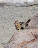 |
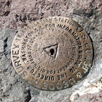
| Lassen Benchmark | Golden-mantled Ground-Squirrel |
|---|
 |
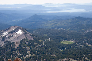 |
| View from Top | |
|---|---|
 |
 |
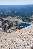
| Lake Helen | Crowded Trail |
I did get to the weather station, and found a benchmark right next to a rock that appeared to be the true summit. Rather than climb the rock, I tagged the top with my hand. Good enough! Then I carefully picked my way back down, using my poles to test rocks I considered uncertain (some were loose). After that, it was a matter of walking back to the car. I was amazed by the number of people coming up the trail. I must have passed a hundred people coming up on my way down! I returned to the car shortly after noon and got something to eat at the trailhead store.
 |
 |
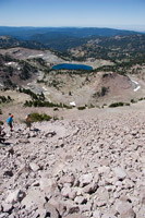 |
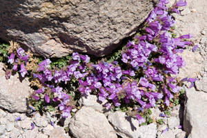
| Rock Penstemon | Looking Up | Looking Down |
|---|
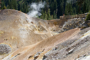
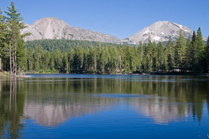
I was tired out by this, my first big hike of the trip. Eventually I returned to the room to rest for a bit. Later in the day, I went back to the park, visiting the Sulphur Works (where the trail is closed) and Reflection and Lily Pond Lakes. The walk around the lakes is about 1.5 miles. Reflection Lake had 2 Muskrat and a female Bufflehead (as well as some other birds). The Lily Pond trail is a very nice interpretive trail with 30 stops spread out over a mile loop. By then, it was time to return to the motel and eat.
 |
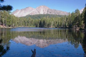 |
| Sulphur Works | Chaos Crags From Reflection Lake |
|---|---|
 |
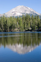 |
| View From Reflection Lake | Mt. Lassen From Reflection Lake |
Lassen Mineral Lodge, Mineral, CA